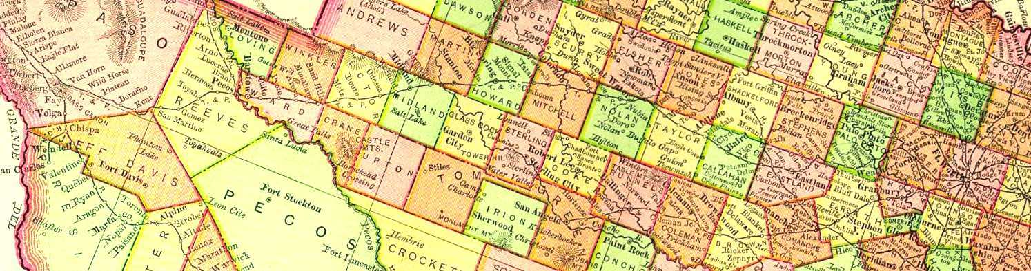
The towns along this route were aproximately 10 miles apart to furnish
the steam engines at that time water, and fuel for the boilers.
Today
you'll note that many of the section house stops have disappeared.
It's very disappointing to attempt to identify these locations as only
the side tracks on the railroad are there today. [1999]
How many do you think have survived; 20% or possibly 30%?